WASHINGTON COUNTY HISTORICAL SOCIETY (Washington County, Utah)
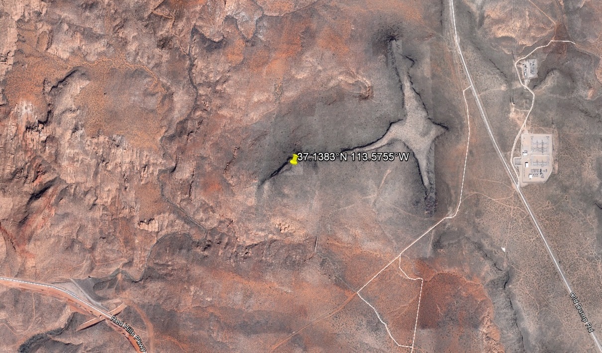
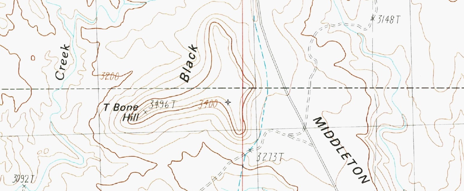
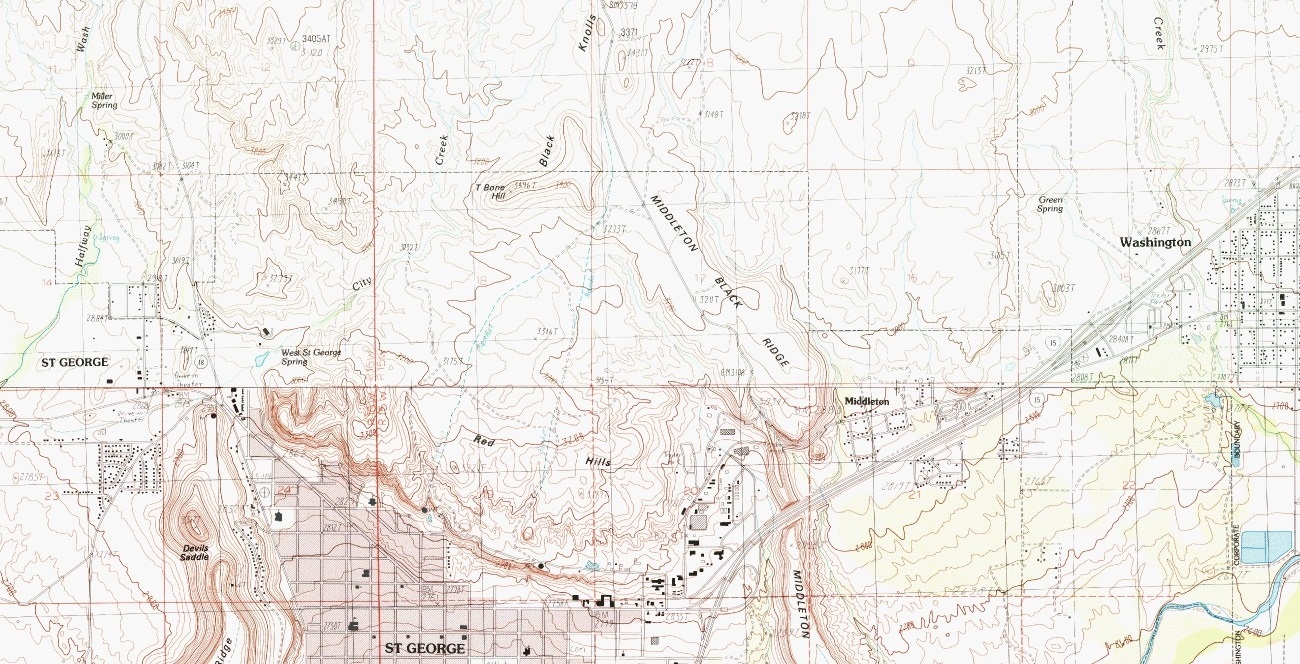
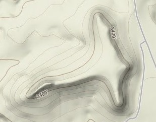
T-BONE HILL
Washington County, Utah
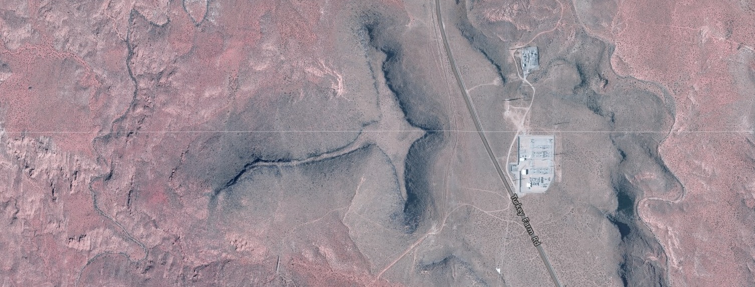
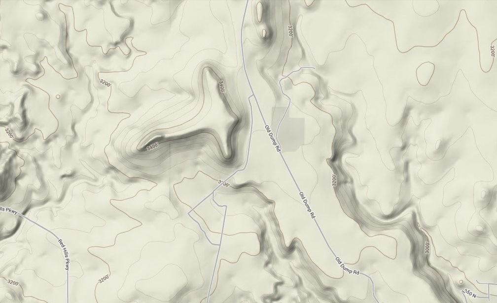
LOCATION
Two thirds of a mile directly west of the power substation on Turkey Farm Road (aka Old Dump Road).The peak is at
37° 8' 17.88" North Latitude, 113° 34' 31.80" West Longitude
37.138314° North Latitude, 113.575512° West Longitude
3,471 feet (1,058 meters) MSL